Open a trail app in Sunnyslope and you'll find two short green lines tucked into the neighborhood's south end: Croisan Scenic Trail and Skyline Trail. Zoom in far enough and you'll notice something the app doesn't flag. The two trails never touch. No connector path links them, no signed junction bridges the gap. If you want to walk both in one outing, the neighborhood itself has to fill in the blank, and it does, one ordinary residential block at a time.
That gap, and how residents close it without anyone building a formal trail through it, says more about how Sunnyslope actually functions than any map of its borders.
Two Trails, One Alliance, No Official Link
The Salem Area Trail Alliance describes Croisan Scenic Trail and Skyline Trail as woodsy "pocket trails" tucked into the neighborhoods of south Salem, each running about a mile once you count the branches and spurs. The alliance is direct about what connects them: not a trail, but roughly half a dozen blocks of quiet suburban street.
If you search for this same trail on a hiking app instead of going through the alliance, you'll find it under a different name entirely. AllTrails and similar apps list it as "Croisan Creek Trail," a 1.5-mile out-and-back with 282 feet of elevation gain, rated easy. Same dirt, different label depending on which app told you about it. Worth knowing before you send a friend a trail link and they show up confused about why the pin doesn't match what you walked.
The route itself earns its reputation for feeling more remote than it is. The Oregon Hikers field guide, which walks through the loop turn by turn, notes that Douglas fir dominates the canopy with snowberry, trailing blackberry, and sword fern filling in below, and that at one point the trail drops toward the creek itself, where, as the guide puts it, "Croisan Creek cuts through a layer of 15 million-year-old lava." That's not a detail you'd expect two blocks from a cul-de-sac.
The Six Blocks That Make It One Walk
Here's roughly how the stitch works, based on the same field guide. Starting from the Skyline Natural Area Trailhead, the Croisan Meadow Loop winds past oak stands and a footbridge with a bat box before eventually spitting you out near Belcrest Memorial Park or the Dogwood Drive Trailhead, depending which fork you take. From there, the trail simply ends. To pick up Croisan Scenic Trail proper, you walk out to Joseph Street, follow it to Croisan Scenic Way, and continue three blocks north, crossing Joplin Street and Brock Loop, until you reach the Croisan Scenic Trailhead.
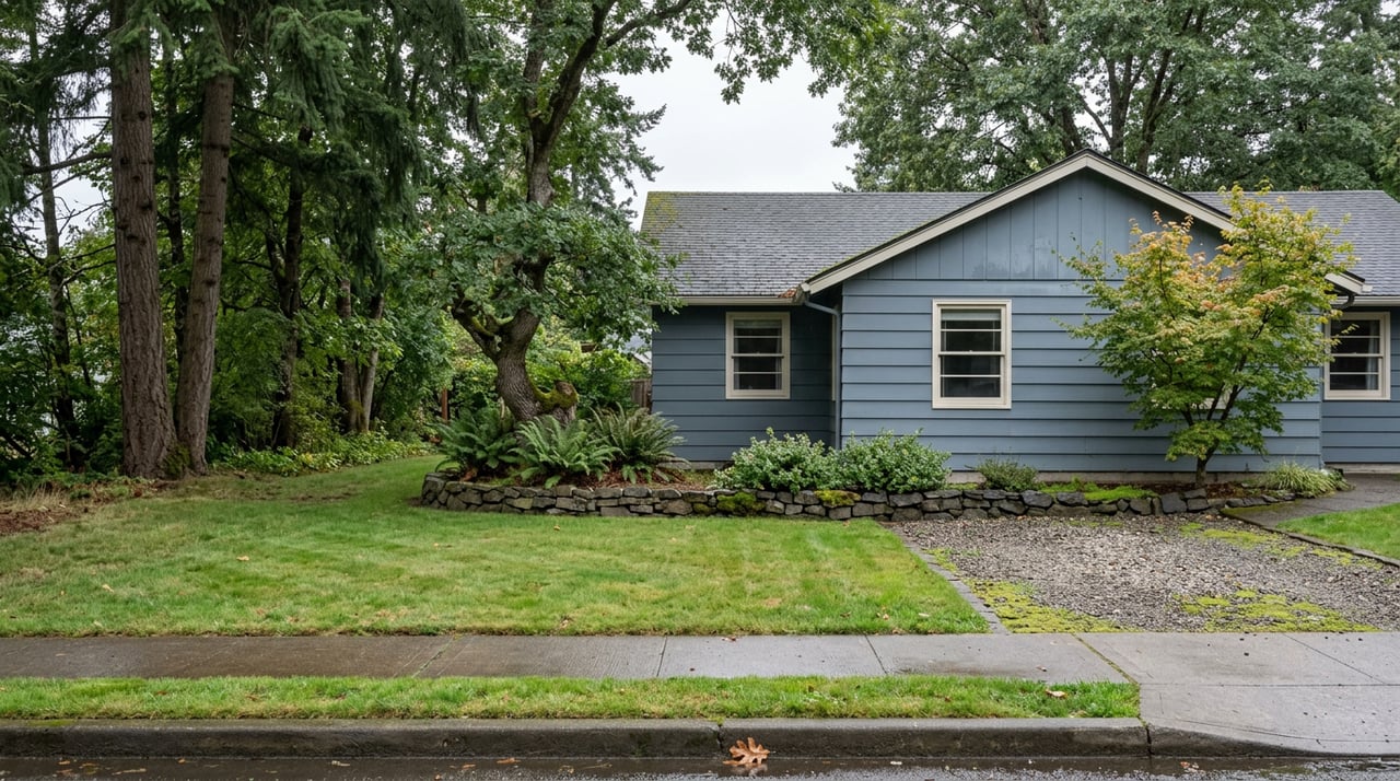
None of that middle section is trail. It's sidewalk, driveway aprons, and front yards, the same streets residents already use to get to Sprague High School or walk a dog to the mailbox. The trail alliance and the City of Salem, listed as land manager on the Hiking Project's trail page, maintain the wooded portions. The neighborhood itself, without any formal designation, maintains the rest simply by walking it.
A few practical notes if you're new to the loop or haven't done it in a while. The trail is dog-friendly and includes a waste station along the way, so you don't have to carry a bag the whole route. It can get muddy in the rainy months, and locals mention the occasional cougar sighting, which is less alarming than it sounds and more a reminder that this is real second-growth forest, not a landscaped park path.
A Park That Punches Above 5.5 Acres
If the trail system is proof that Sunnyslope builds connections informally, Sunnyslope Park is proof that it builds capacity the same way: in small, deliberate additions rather than one big redesign.
The park sits near 18th Street and Matthews Loop and has long carried the basics: a tennis court, a multi-sport court, and a playground. What changed came through the City of Salem's Salem Parks Improvement Fund, a program that awards up to $60,000 a year, split across all of Salem's neighborhood associations, for exactly this kind of targeted upgrade. In February 2024, the Salem Parks and Recreation Board approved $5,500 for Sunnyslope Park specifically to stripe a pickleball court and add a GaGa Pit, a corralled area for a dodgeball-style game popular with kids, according to Salem Reporter's coverage of the grant round. The same round sent $1,500 to nearby Secor Park, also inside Sunnyslope's boundaries, for a matching GaGa Pit.
Here's what's worth sitting with: $5,500 didn't buy a new park. It bought paint lines on an existing court and a fenced patch of gravel. That's the entire mechanism. A 5.5-acre park doesn't get bigger through grants like this, but it gets more useful, one small, specific addition at a time, the same way the trail system gets longer without a single new trail ever being cut.
No Main Street, But a Ring of Them
Sunnyslope doesn't have a commercial core of its own. It's a residential neighborhood bounded by Browning Avenue to the north, Liberty Road to the east, and the Salem city limits to the south and west, and inside those lines you'll mostly find houses, not storefronts. What the neighborhood does have is unusually good access to everything just outside them.
A Realtor with HomeSmart Realty Group who has spent a decade working the Salem market put it plainly when describing what draws people to this part of town: "It's phenomenal access." He counted roughly five ways in or out of the neighborhood, connecting to Liberty Street, Kuebler Boulevard, and Commercial Street without much friction. That access has been pulling businesses closer for years. Salem's Costco relocated to the south side of the city in March 2022, landing wholesale groceries and home goods within easy reach of a part of Salem that had been growing for a while without a big-box anchor nearby.
The eating and drinking follows a similar pattern: close, but not inside the boundary lines. French Press Coffee and Crepes, a local roaster and café on Commercial Street, handles breakfast sandwiches and pastries for the morning crowd. On Liberty Road sits McMenamins Thompson Brewery & Public House, which carries a distinction most people ordering a burger there probably don't know: the building dates to 1905, and this location holds the title of the first post-Prohibition brewery in Salem. The patio is pet-friendly, the fire pits stay lit through the cooler months, and the taps rotate through house creations with names like The Gold Whisperer and the Berry Sake Bomb. A few streets over, neighbors point to Geppetto's for Chicago-style deep dish and Sybil's Omelettes for the kind of biscuits-and-gravy breakfast that gets mentioned unprompted on the neighborhood's Nextdoor threads.
None of this sits inside Sunnyslope proper. All of it is close enough that residents treat it as theirs anyway, the same logic that turns two disconnected trails into one walk.
The Board That's Been Doing This Since 1976
Behind both the trail workaround and the park grants sits the same organization: the Sunnyslope Neighborhood Association, one of the oldest in Salem, founded in 1976 and covering roughly 1,247 acres. It's the association that applies for grants like the pickleball striping and GaGa Pit funding, and the same body that fields the pedestrian safety concerns that come with a neighborhood built more around streets than formal trails. The board meets monthly, on the third Thursday at 7 p.m., with location confirmed ahead of each meeting through the city's calendar. Current co-chairs are Alan Alexander and Sally Cook, with Evan White and Henry Neugass handling land use matters, the kind of local review that decides what gets built where and how it affects the walk you take on a Saturday morning.
It's easy to miss how much of a neighborhood's daily texture runs through a volunteer board with no paid staff and a meeting that fits in a church basement. But the six blocks that link Croisan Scenic Trail to Skyline Trail, and the striped lines on Sunnyslope Park's pickleball court, both exist because someone on that board asked the city for them.
The Walk You Can Actually Take This Weekend
None of this shows up if you're just scanning a map for green space or a park amenity list. Sunnyslope's real infrastructure is partly informal: trails that end mid-forest and pick back up six blocks later, a small park that grew a new activity zone for the price of a striping crew, and a ring of restaurants and a 1905 brewhouse sitting just outside a boundary line that residents cross without thinking twice. The neighborhood works because people keep filling in the gaps the official map leaves blank.
If you're already walking these blocks and want a second opinion on what your own stretch of Sunnyslope is worth, or you're weighing whether now's the right time to make a move within the neighborhood you already know, Heather Rauh has spent years reading Salem's micro-markets the same way this post reads its trails: block by block, not just by the map. Schedule a consultation whenever you're ready to talk specifics.